Our Services
-
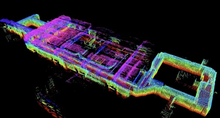
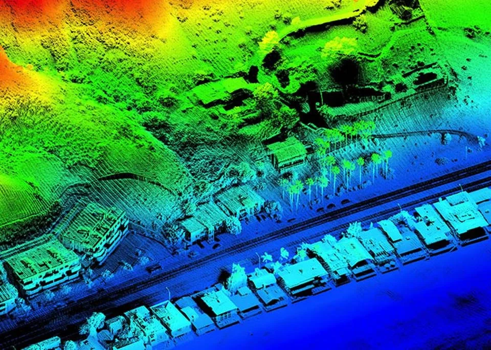
Mission 3097 creates accurate, three-dimensional records of existing structures using LiDAR-based reality capture.
We document structures landscapes as they exist today — inside and out — so their form, character, and condition are preserved for the future.
Why it matters
Because photographs are not enough.
Homes change. Renovations happen. Details are lost.
A 3D preservation record creates a permanent, measurable snapshot of a place in time — one that can be revisited years from now with clarity and confidence.
How it works
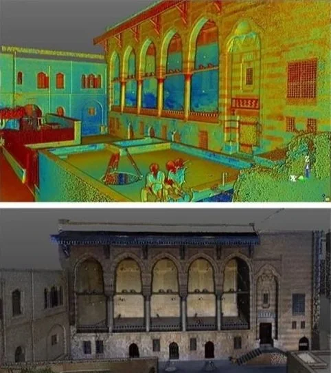
1. Exterior Documentation
Aerial LiDAR captures rooflines, facades, and surrounding context with real-world scale.
2. Interior Documentation
Handheld LiDAR quietly records rooms, stairs, and architectural details without physical contact.
3. Unified Digital Archive
Interior and exterior data are merged into a single, navigable 3D model.
What you get
Interactive 3D viewer
Measurement-ready model
High-resolution still images
Secure digital archive
Optional plans and sections